I’m wildly impressed & inspired by what a single (albeit highly dedicated) person and his flying camera can do. PetaPixel writes,
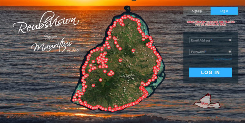
Reuben Pillay is a drone enthusiast living on Mauritius, the island nation 1,200 miles southeast off the African continent. He has spent over a year and a half working single-handedly on a project called ReubsVision — it’s essentially like an aerial Google Street View of the island’s entire coastline (and more).
So, Pillay spent 18 months traveling all over the 790-square-mile island with his DJI Phantom 4 Pro camera drone… Pillay has since created over 220 ultra-high-resolution 360° photos that cover the entire Mauritius coastline.